Following a series of cargo losses, shipping lines are being urged to improve their route planning with better weather intelligence and on-board motion sensors.
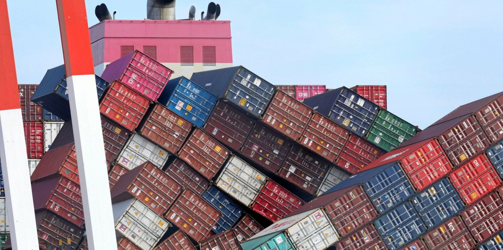
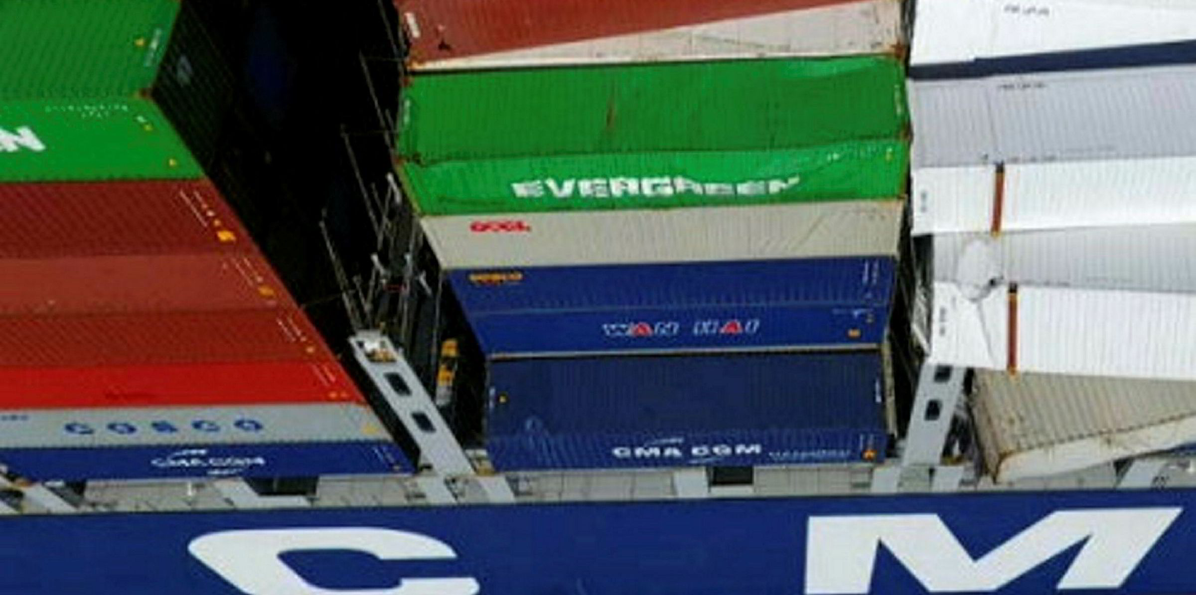
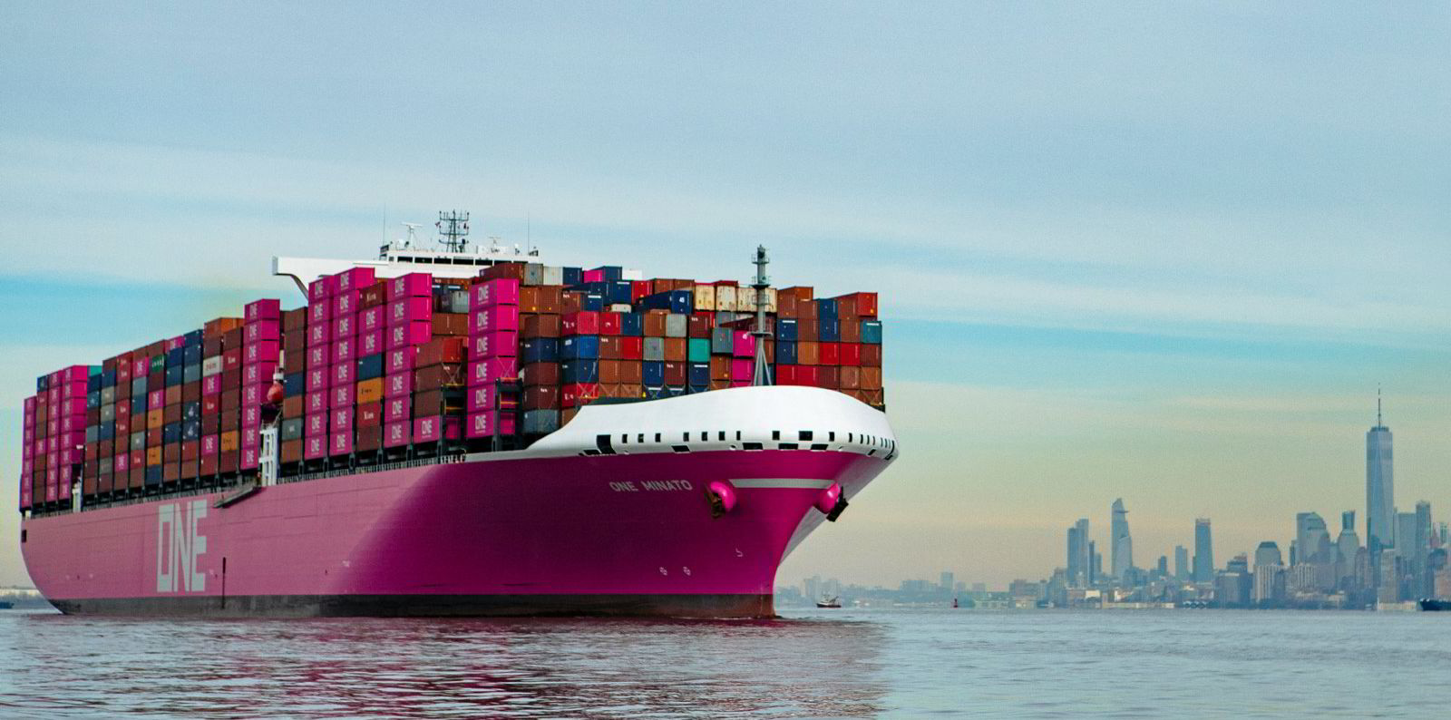
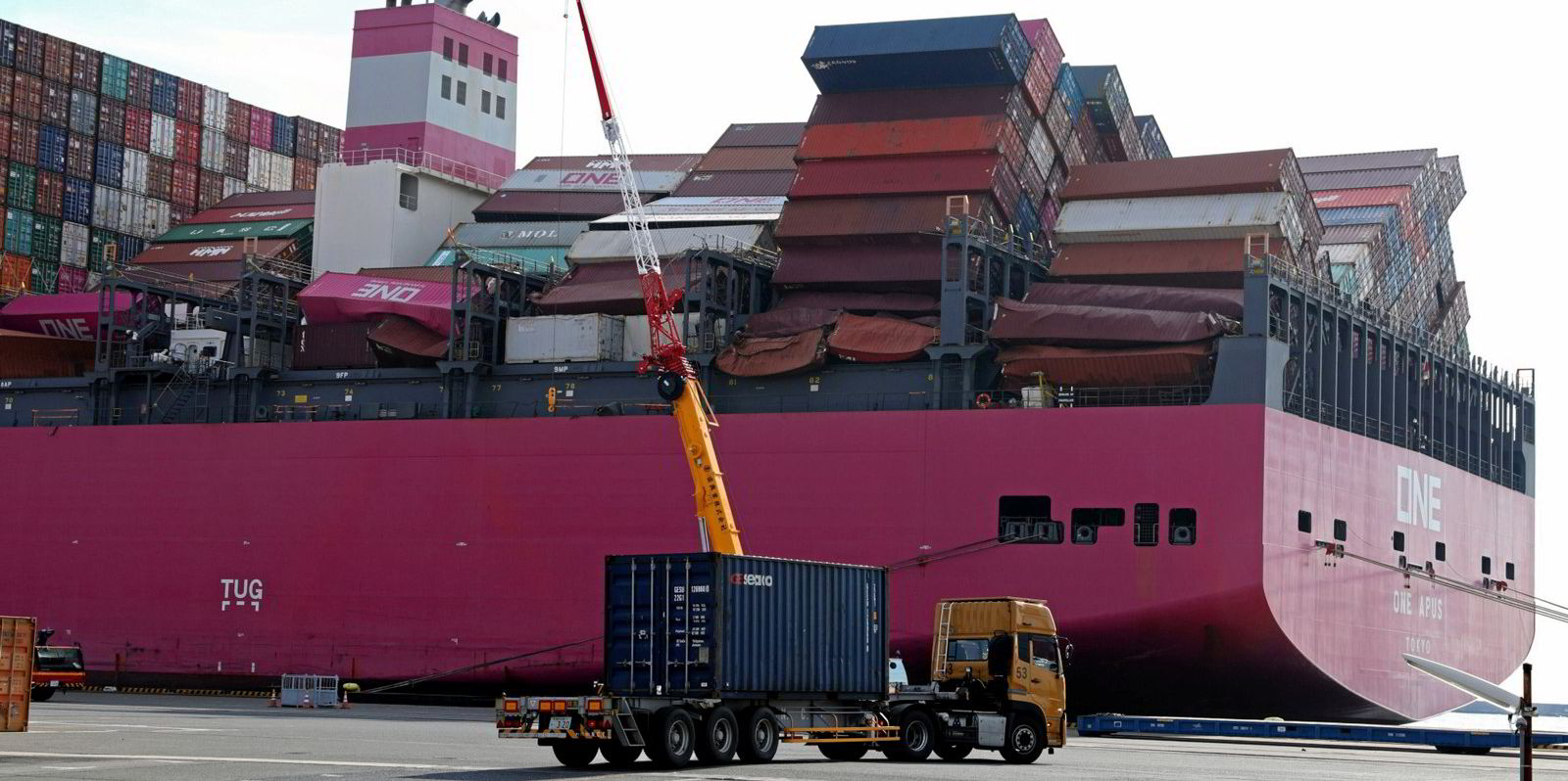
Five large containerships lost almost 3,000 boxes in total amid rough weather between last November and February.
The World Shipping Council estimates just 1,382 containers were lost at sea on average each year from 2008 to 2019.
While the true causes of the recent incidents remain unclear, some shipping professionals believe they could be related to parametric rolling, a rare phenomenon that can occur in rough seas.
“That’s where you get these very certain violent motions that are very difficult to predict from just a human perspective,” said Geir Fagerheim, senior vice president for marine operations at ro-ro and car carrier operator Wallenius Wilhelmsen.
“You cannot prevent this [with] good seamanship. It’s a freak occurrence which nobody really can predict based on just a gut feeling, or a hundred years of experience.”
Parametric rolling happens when a vessel experiences larger-than-expected roll behaviour and becomes unstable due to certain wave crests and troughs.
A ship’s centre of buoyancy could change when the primary wavelength is similar to the ship’s length, with the wave crest amidships and the bow and stern in wave troughs. This could also occur when the ship is supported by a crest at the bow and stern with the trough amidships.
Svenn Owe Haugland, head of shipping product development at weather intelligence provider StormGeo, said crew often cannot detect such waves until it is too late to avoid them.
Good seamanship not enough
“It can influence the rolling of a vessel suddenly, and then make it roll 50 degrees,” Haugland added. “You definitely need to avoid that kind of parametric, freak-accident rolling because that is very destructive to the ships affected.”
Experts believe that boxships, ro-ros and vehicle carriers are more prone to parametric rolling due to their slender hulls.
To avoid the rare phenomenon, Fagerheim said liner operators need to optimise their sailing routes based on real-time intelligence on waves and weather.
“These very violent motions are ... very, very difficult to predict on board from good seamanship,” he added. “You need more data points, you need more advanced models and different planning framework.”
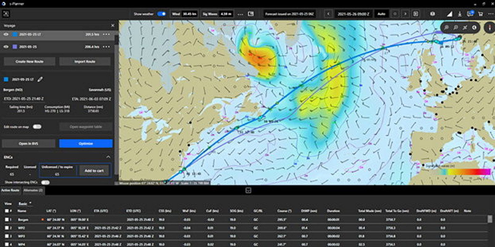
His Norway and Sweden-headquartered company has installed motion sensors on 50 ships in its fleet in supplement to voyage planning software, which can recommend routes in accordance with weather conditions, ocean currents and vessel characteristics.
Most sensitive
“These vessels have been chosen as they are designed to carry our heaviest and most sensitive cargo,” Fagerheim said.
“In the same way as containers are secured by lashing rods and various devices on boxships, the cargo on vehicle and ro-ro carriers is secured by lashings.
“The main risk during violent rolling is that accelerations exceed the design criteria for the cargo securing arrangements, resulting in breakage and cargo coming loose.”
The digital equipment would allow a vessel to begin route planning before a voyage starts, and the crew can adjust the course along the way whenever necessary.
Commenting on the benefits of route optimisation, Haugland said seafarers would typically have an hour’s warning before encountering waves that could lead to parametric rolling. “You need to slow down, or you need to change your course. It’s these small changes of course or speed that make you avoid [the rolling],” he said.

In line with the industry trend of digitalisation, vessel operators have enjoyed a growing number of choices when it comes to route optimisation.
Work in progress
StormGeo’s products, based on its expertise in climatology, aim to help their clients discover the safest courses with the lowest bunker consumption. There are also other platforms that focus on cargo flows or marine fuel supply.
But it could be a struggle for those who want to use several platforms at once.
Haugland admitted it would be possible to export a selected route from one application to another, but “the standardisation of exchange format is not that great”.
“The industry is not perfectly organised in standardisation yet. It’s a little bit [of a] work in progress,” he said.
Michael O’Brien, StormGeo vice president for operations, said ship operators can also opt to integrate underlying data among various platforms via application programming interfaces. “We are entirely open to do work with our partners.”
