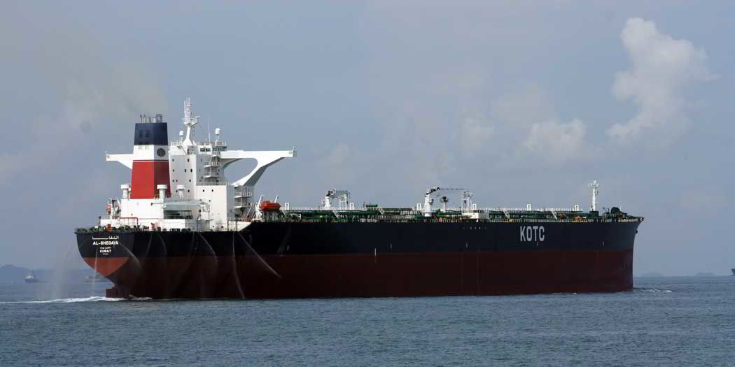
The project, which also has the backing of the Malacca Straits Council of Japan, intends to improve navigational safety.
The surveys will be carried out around One Fathom Bank, Cape Rachado, Buffalo Rock, off Pulau Seborak and Batu Berhanti
“This initiative was one of the key recommendations that arose from a study commissioned by the littoral states in 2013 on real-time monitoring of under keel clearance in the SOMS,” said Singapore’s Maritime Port Authority (MPA).
“The data from the survey will be used to produce large-scale electronic navigational charts (ENC) covering the five areas in the Straits critical to navigation.
“This will complement existing ENCs of the SOMS and will provide the shipping industry and authorities with high resolution bathymetry information relating to the depth of waters.
“Such information would enable better voyage planning and greater navigational safety while sailing in these areas.”
Singapore’s chief hydrographer and director (Port Services) of MPA, Dr Parry Oei said: “This survey is an excellent example of cooperation between user and littoral States in ensuring safety of navigation and protection of environment.
“Results from the survey would help update charts and also allow authorities and users of the Straits to have a better understanding of the seabed topology and its surrounding for safer and more efficient passage planning.”
The Straits of Malacca and the adjoining Singapore Strait see over 250,000 vessel movements, both transits and arrivals, per year.


