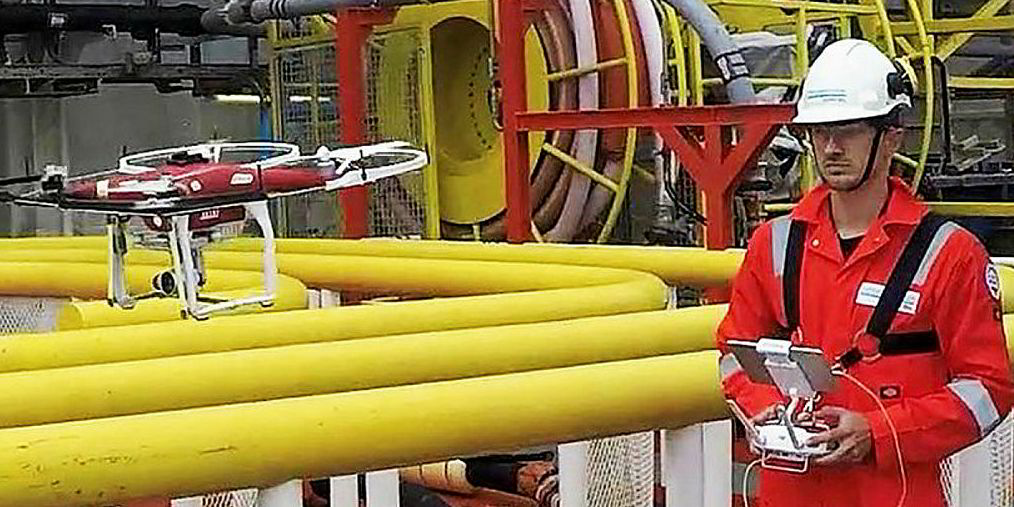
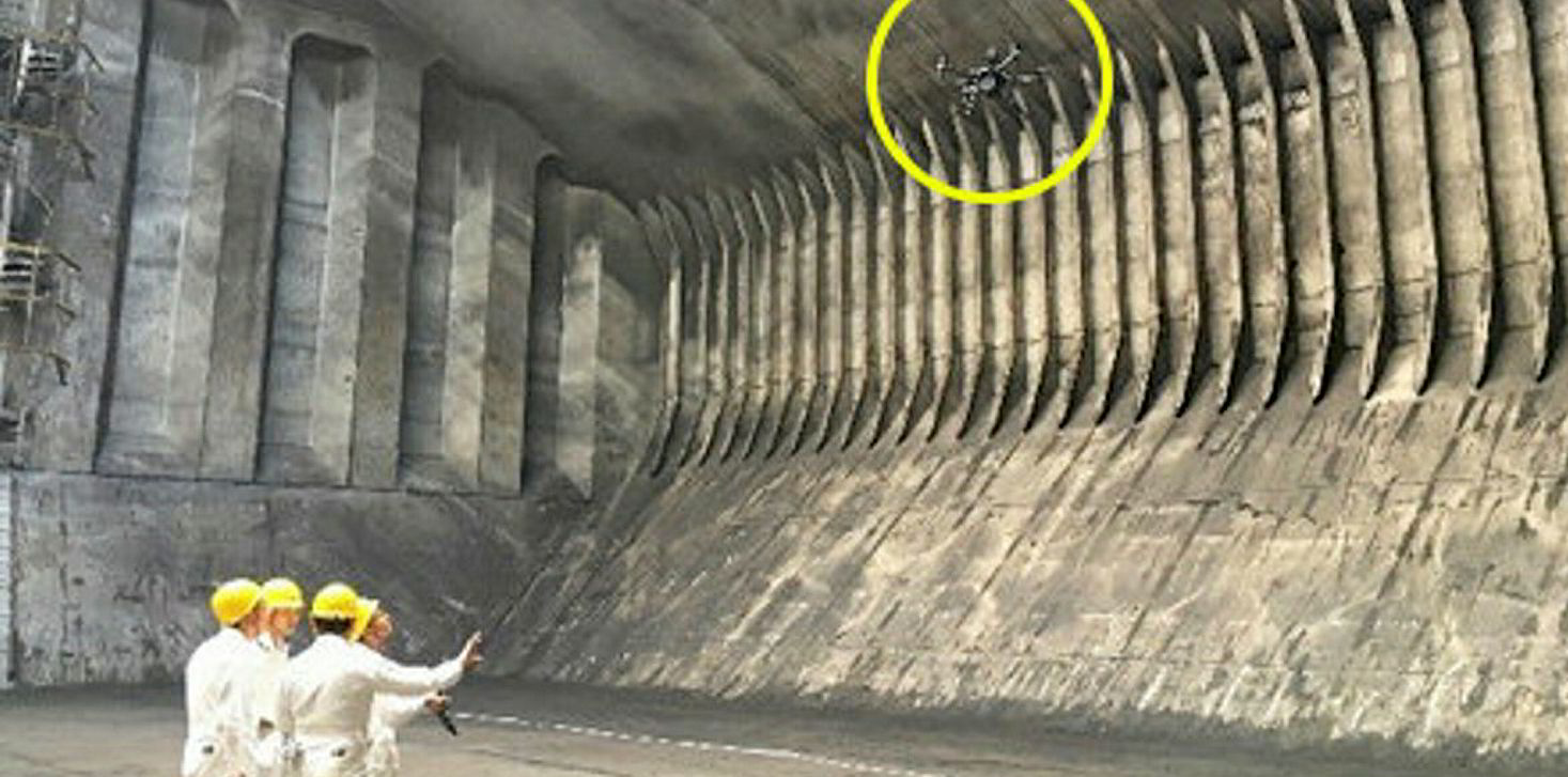
Drones are increasingly being used in statutory ship surveys and certification, and a leading class society believes they could dramatically cut the cost of inspections.
The technology is now being tested for steel thickness measurements and in surveys in confined spaces and underwater.
Demonstrating the technology at its Hamburg marine headquarters, officials of Norwegian classification society DNV GL said drones are routinely being used in internal cargo space inspections of bulkers and tankers, checking for corrosion and coatings damage.
It has already issued statutory renewal certificates based on drone surveys.
Drones are mainly being deployed to access topside cargo hold areas that would normally require scaffolding up to 30 metres high.
Using them on chemical tankers has demonstrated that the cost savings could be as high as $2,000 per cargo hold, DNV GL estimates.
While most experts accept that the technology has potential, some point out that if the slightest indication of any damage is found, a visual inspection by a surveyor will always be required anyway and some of the savings will be lost.
“Drones are now allowing us to inspect difficult-to-access areas,” said Christian Cabos, DNV GL’s head of department innovation.

Good visuals
“The images are good enough for us to determine the condition of cargo holds. It decreases preparation time, increases safety for our surveyors and eliminates staging.”
DNV GL is now trialling the use of drones to conduct measurements of steel thickness and is preparing to roll out the service in the near future.
It is also looking at whether drones could be used in confined areas such as internal double bottom spaces.
While drones in spacious cargo holds can be controlled by the ship surveyor, they would have to be fully automated within the confined double bottom spaces, and be able to position and orientate independently.

The machines would also need to be capable of producing a detailed visual 3D mapping of the internal spaces and in virtual reality to the surveyor, who would be stationed in a different section of the vessel.
“It will take two, three or even five years before we can realise this,” Cabos said.
Another development could be the use of drones in underwater inspections. However, so far this is the least developed of DNV GL’s drone initiatives.
Japanese classification society ClassNK is also experimenting with the technology in ship survey inspections, in collaboration with shipowner MOL.
“The use of drones is expected to contribute to improved operational safety and efficiency, since these processes require work to be done at great heights and in dangerous environments,” MOL said.
Eric Martin contributed to this article


