Coal export facilities in the Australian state of Queensland face further disruption with the approach of a second major cyclone in as many weeks.
A cyclone watch has been issued for coastal parts of the southeast of the state and northern New South Wales with gales developing as tropical cyclone Oma approaches.
Tropical cyclone
Oma has been classified as a category 2 event with sustained winds near the centre of 95km (60 miles) per hour and gusts up to 130km per hour.
“Although Oma is not expected to make landfall in the coming days it will be close enough to produce direct impacts along the Queensland and New South Wales coast,” ship agency GAC said.
“Abnormally high tides and dangerous surf conditions are expected along the southern Queensland coast over the next few days and into early next week.”
“Gale force winds are expected to develop along exposed coastal areas of southern Queensland during Friday well ahead of Oma, and may extend into coastal parts of Northern New South Wales on Saturday.”
GAC said a number of measures have been implemented since Thursday lunchtime as a minimum for all ports in the Gladstone region.
Gale force winds are expected to develop along exposed coastal areas of southern Queensland during Friday well ahead of Oma, and may extend into coastal parts of Northern New South Wales on Saturday
GAC
These include vessels at anchor bringing their main engines to standby, ballasting down and being prepared to depart the anchorage at immediate notice.
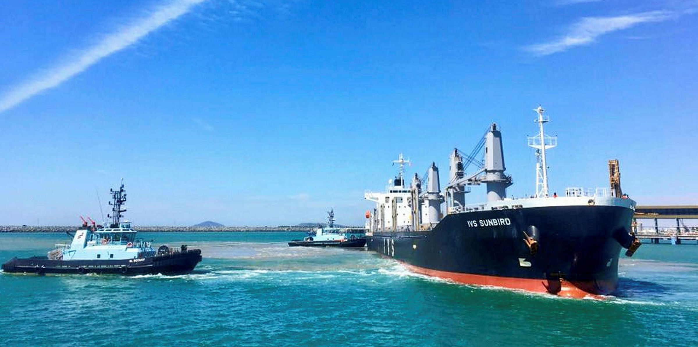
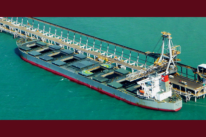
Meanwhile, vessels at berth have been advised to run additional mooring lines and maintain a continuous watch on them as well as being ready to cease cargo operations and depart the port with little notice.
Reef warning
Finally, vessels directed to depart the port and anchorages must ensure that they proceed to sea and not remain within the confines of the Great Barrier Reef.
At Mackay, Hay Point and Abbot Point, GAC says the system will lead to a “significant increase” in swells in southern Queensland waters later this week.
This could be followed by the possibility of increasing winds and rainfall over the weekend.
“Oma could also lead to gales and damaging wind gusts developing about the southern coast from Friday, with possible heavy falls from Saturday,” it said.
At the Port of Brisbane, GAC said that with both swell and wind conditions all arrivals and departures are under review.
“There is expected to be only minimal, if any, movements scheduled for the period from sunset on Thursday until early Monday sunrise,” it said.
Gale-force winds
It warned that a high-energy swell event with gale-force winds generated by Oma is forecast to impact the area into the weekend.
GAC said this will affect ships requiring under-keel clearance windows in the North West Channel as swell conditions increase.
It also warned that high windage vessels such as passenger ships, container ships and vehicle carriers could also be affected.
“They may not be able to berth securely due to beam winds and therefore may be rescheduled to call once winds abate,” it said.
