Australian researchers, global environmental groups and three major shipowners are set to unveil a "new layer of vessel monitoring" that could make "going dark" a thing of the past.
TradeWinds understands that Swedish-Norwegian car carrier operator Wallenius Wilhelmsen and Swire-owned dry cargo player China Navigation are among the shipping companies involved, but they could not be reached for comment.

The "radar harvesting" initiative is primarily aimed at fisheries management and enforcement, but more generally it would make it more difficult to hide ships.
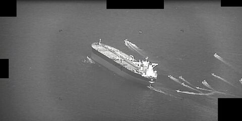
Smugglers, sanctions busters, polluters and vessels looking to pass through disputed waters could all be deprived of evading detection by switching off their AIS transponders.
A source informed about the new pilot project said that it is scheduled to go public in May after years of development by a team of scientists based in Hobart, Tasmania.
Project leader Chris Wilcox of the Commonwealth Scientific and Industrial Research Organisation (CSIRO), Australia's national science agency, declined to name the shipping companies involved.

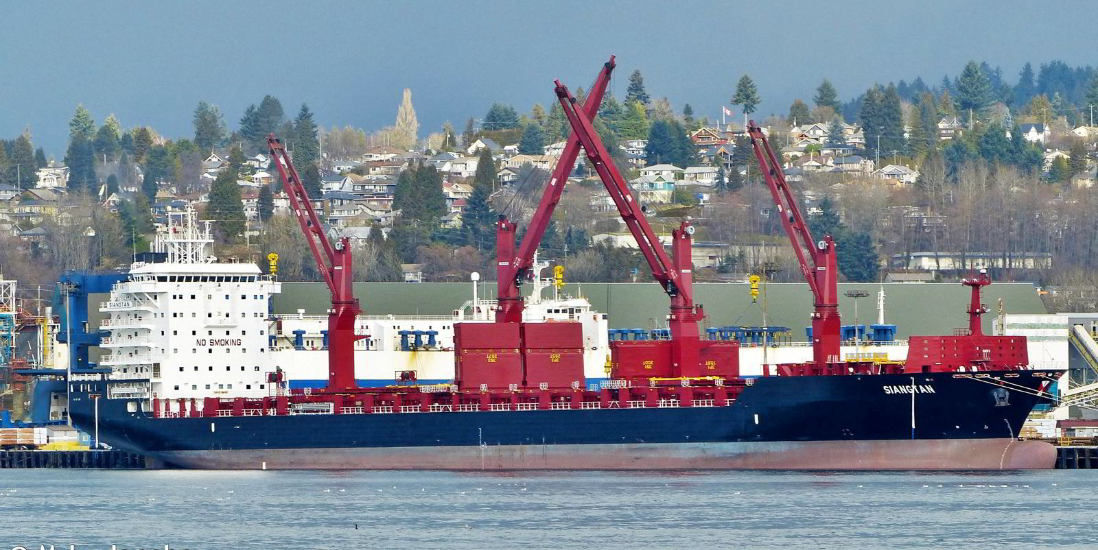
But he confirmed he is in the final stage of negotiating an agreement with three shipowners who operate vehicle carriers and dry cargo ships, with fleets numbering in the hundreds.
Harder to hide
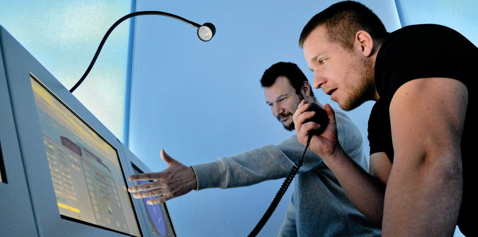
In the programme, a network of voluntarily participating vessels would collect and record all radar signals in their range. Regulators and researchers would put it all together to create a second source of vessel positioning data to supplement satellite-collected AIS.
The technique would involve no installation of equipment beyond a hard drive.
"We essentially use the ship as a sensor platform by adding on-board radar data storage," wrote the CSIRO team, which is led by Wilcox and fellow principal scientist Denise Hardesty.
"Output of radar targets is a standard feature of ship systems; it is only a question of changing the settings to write this information to a storage device."

Radar data is low-volume, consisting of strings of text, so it will eventually be transmitted live from the ships to satellites, and even the hard drive will become unnecessary.
The display interface would be compatible with familiar AIS data viewing platforms.
"We can visualise activity over different temporal scales in a format similar to current AIS-based platforms [eg VesselTracker or Global Fishing Watch]," the CSIRO team wrote.
The coverage range for each ship serving as a radar harvesting platform would range from 100 km (62 miles) to 300 km, depending on such factors as the height of the bridge above the sea surface.
Sewing together the data from many such platforms would create an overall picture of activity in each trading area.
"This can be further extended using statistical models to build a picture of the density and movement of vessels, including predictions in areas outside the radar range," the team wrote.
The CSIRO team is working to add predictive models that will use vessel histories and trading patterns to create probable trajectories before and after the radar data points. But the more vessels that participate in the programme, the fewer gaps will be left to fill in by software.
Recruiting shipowners
The Australian agency's primary motivation for funding the initiative is to monitor fisheries activities, including illegal, unreported and unregulated fishing in the Asia-Pacific region.
But the network of ships tracking other vessels' weather and navigational radar signals would have broad commercial as well as regulatory utility.
Wilcox said he is keen to identify more shipowner partners and said the high-end shipowners he has already approached are interested.

"It aligns with their sustainability goals at no cost to them," Wilcox said.
Shipowner participants will also receive data back from the project and, when fully developed, it could give masters and ship managers access to real-time radar data being received by other vessels.
"If they let us grab their data in real time, we can push data back down to them, so they can see what the ship sailing hundreds of miles ahead of them was seeing," Wilcox said.
But he underscored that each shipowner participant sets the conditions on what can and cannot be done with their information through a data-sharing agreement with CSIRO.
The radar harvesting system is already deployed on research and fishing vessels plus an environmental non-governmental organisation's high-seas campaign ship but, until now, it has not been added to any trading merchant vessels.