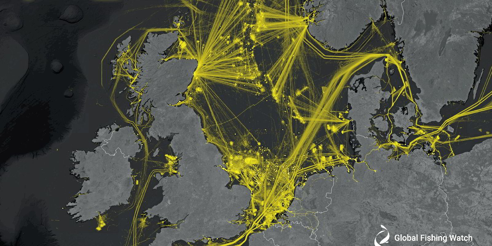
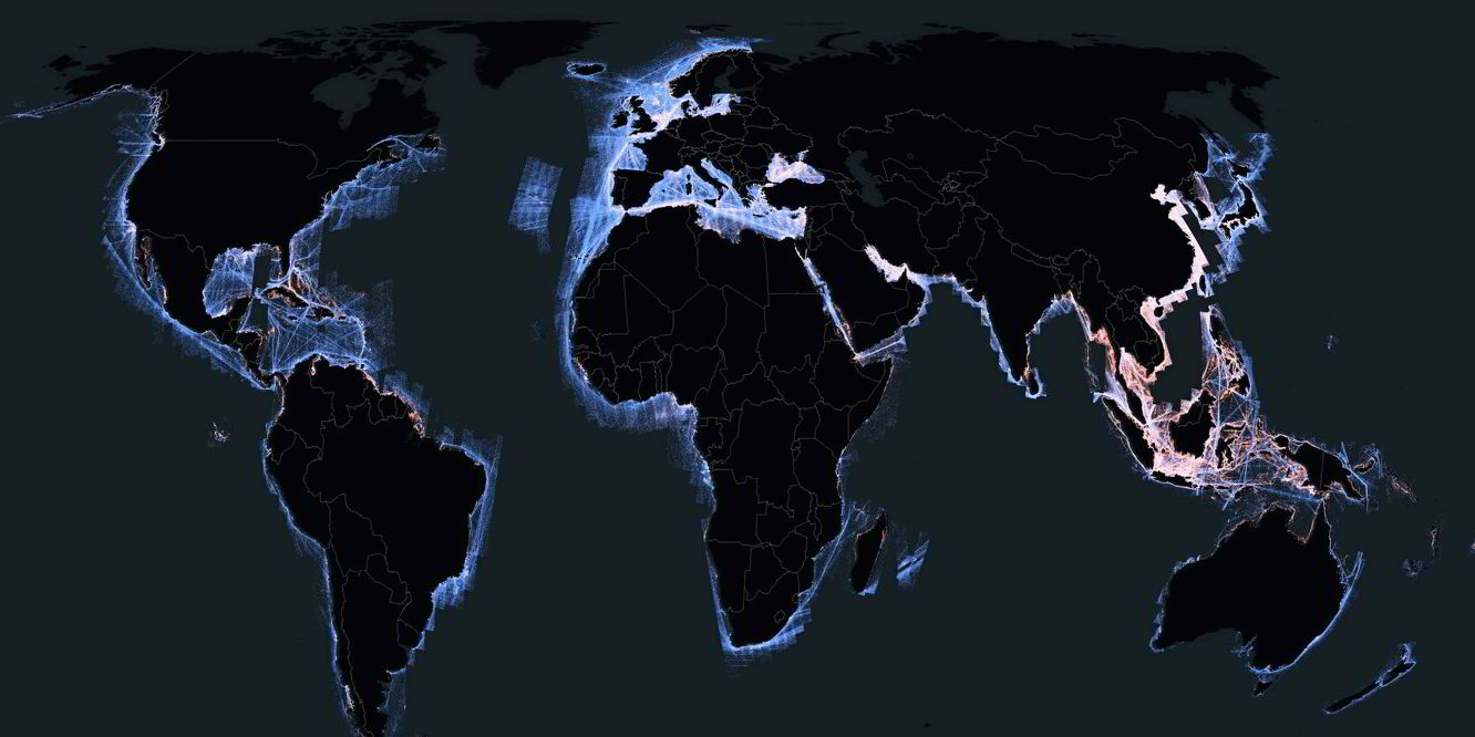
One of the most detailed pictures of industrial activity on the world’s oceans has been published, revealing a series of “blind spots” where shipping is hidden from public view.
The issue of “dark” fleets has been highlighted with the expansion of sanctions programmes targeting shipping.
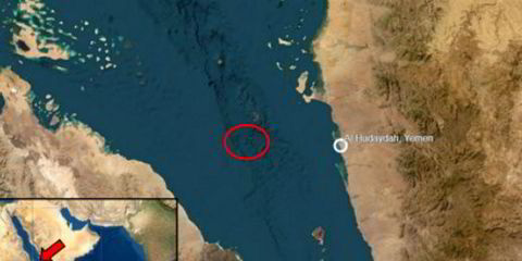
Tankers hauling Iranian, Venezuelan and Russian crude have sought to disguise their locations to avoid regulatory, legal or reputational repercussions.
The study, published in the journal Nature, compared 53bn GPS positions of vessels over five years and cross-checked them with more accurate radar and optical systems on satellites.
It concluded that about one-quarter of “transport and energy” vessels are not publicly tracked, largely because of range limitations of the AIS used by vessels, according to researchers.
The largest concentration of “blind spots” was in Asia, where most vessels were operating in areas with poor satellite AIS reception, the study found. All other continents had minor discrepancies in vessel tracking.
Originally designed as a collision avoidance tool, AIS transmits details to other vessels, including a ship’s position, identity, course and speed. Ground stations and satellites also pick up the information, making ships trackable even in remote ocean areas.
It is mandatory for passenger vessels and all ships above 300 gt on international voyages.
The information has been harnessed by data companies to chart ship and cargo movements for commercial use. It has also been used to identify potential illicit activity when systems are switched off or “spoofed” to disguise the position of a vessel.
But its range is reliant on factors including the state of the sea, heights of transmitters and atmospheric conditions. It can be as little as 20 nautical miles (37 km), according to Nato. It can also be switched for legitimate safety reasons.
The cross-checking process using satellite imagery of the oceans from 2017 to 2021 revealed a much more detailed picture of vessel activity. The study found a “substantial amount” of human activity that was not publicly tracked.
Researchers, led by Fernando Paolo of Global Fishing Watch, said the more complete data could be used for a better assessment of carbon emissions by vessels and to track ships involved in illegal activity.
The research data is being released by GFW, an organisation dedicated to the transparency of human activity at sea.
One national government has already approached the researchers to understand the scale of “dark” fishing fleets as they consider where to site a wind farm, said director of research David Kroodsma.
“The non-broadcasting tankers are an extremely small fraction of that dark activity,” he said.
“But this technology can be used to identify those … it’s one of the ways we hope people will use it.”
Ships also have long-range identification and tracking systems that transmit their location via satellite at least once every six hours, but the information is under the control of flag states and not publicly available.
Read more
- Tech standard to reshape shipping one brick at a time
- IMO slams ‘shadow’ fleet and calls on members to crack down on illicit cargo transfers
- Houthis may be using old data as bombed boxship’s past links to Zim emerge
- Iranian ‘spy’ ship may have targeted seized Galaxy Leader
- Uncle Sam is watching, and he wants your records on the Russia price cap